Description
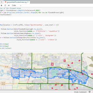
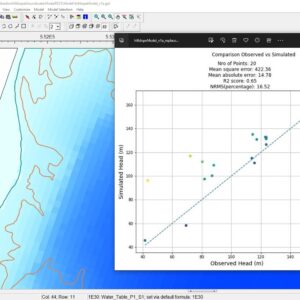
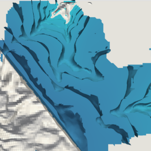
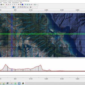
This webinar covers the whole procedure of spatial data preparation, data preprocessing in defined formats and geological modeling with Python and Gempy.
$20.00
This webinar covers the whole procedure of spatial data preparation, data preprocessing in defined formats and geological modeling with Python and Gempy.
This webinar covers the whole procedure of spatial data preparation, data preprocessing in defined formats and geological modeling with Python and Gempy.


Reviews
There are no reviews yet.