Please log in to access your purchased courses.

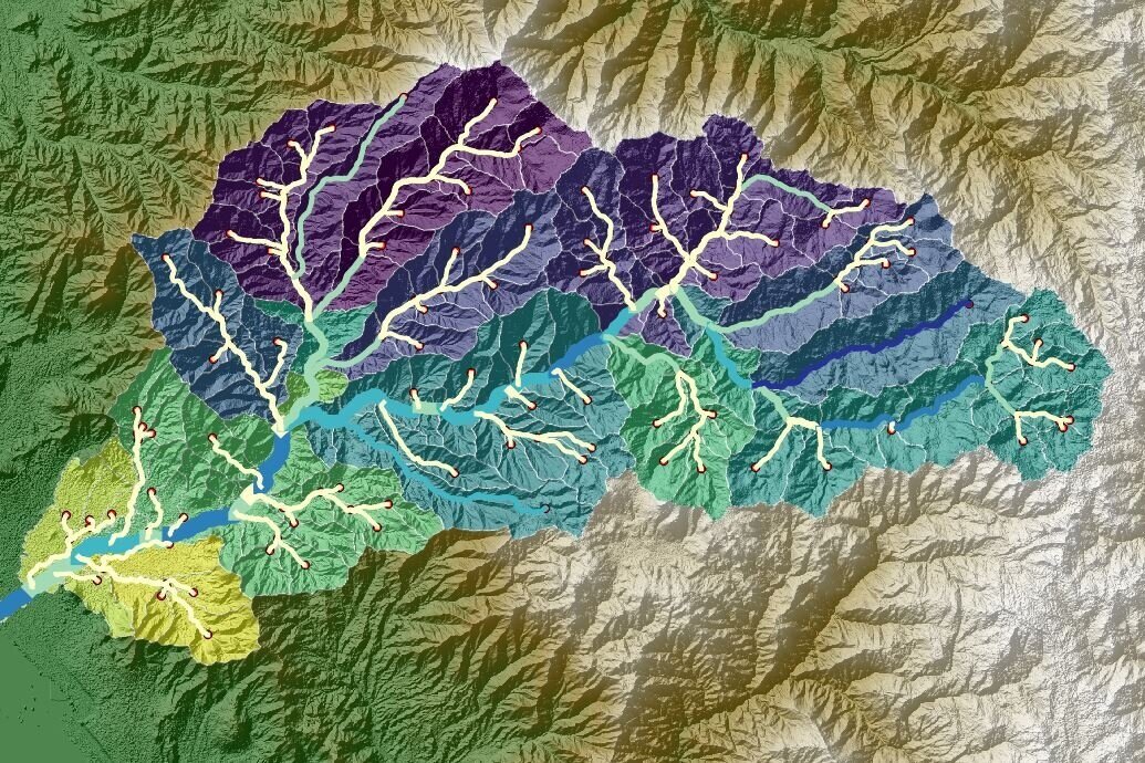
Hatarilabs presents the professional program to master SWAT+ (Soil Water Assessment Tool), which is a tool that allows the evaluation of soil and water for hydrographic basins based on Hydrological Response Units (HRU). SWAT+ is used to predict the long-term impact of land use on the generation of runoff, sediments, and nutrient transport, among others. In addition, because of its ability to include various models, such as water balance, and its full compatibility with Geographic Information Systems (GIS) tools, SWAT+ is extremely popular among professionals in water resources.

This program is designed to provide systematical learning from the most basic and general topics to intermediate and advanced topics, allowing the student to understand the various steps in developing hydrological models using the SWAT+ interface for QGIS. This program has a series of theoretical and practical concepts that allow the student to process spatial data, manage meteorological databases, build hydrological models, develop sensitivity analyses, and perform manual and automatic calibrations using versatile tools such as SWAT+ Toolbox, SQLite, and Python. 

This program is developed in asynchronous mode that allows students to be more flexible in their schedule and enjoy of instructional materials during 01 year.
Installers

The requirements to develop this module are to have an internet connection via wifi or network cable with a bandwidth of at least 4 Mbps and use a PC or Laptop with a Windows 64-bit operating system with speakers or headphones

Lessons

Installer QGIS 3.22.7 Installer SWAT+ 2.1.2 Installer Anaconda for Python for Module 2 Packages for Module 3

Módule 01: Introduction to Hydrological Modeling

This course develops the key concepts to understand hydrological modeling using SWAT+ and QGIS, introductory topics will be addressed and a pre-established model to understand the operation of SWAT +, the procedure for the processing of data required in a hydrological model will also be explained.

Lessons

Materials SWAT+ Introductory Session 01: Introduction to Hydrological Modeling Preview Session 02: Components of SWAT+ Part I Session 03: SWAT+ Components Part II Session 04: Components of SWAT+ Part III Session 05: Preparing spatial data for a model Session 06: Preparation of tabular data for a model

Module 02: Hydrological Modeling with SWAT+ and QGIS

Once the concepts have been covered and the operation of SWAT+ is understood, hydrological models will be developed with daily rainfall data, since they are the basis of the entire model, thus being the basis for the generation of future variables such as outflows or runoff.

Lessons

Materials SWAT+ Session 01: Construction of a hydrological model Session 02: Simulation of a hydrological model Session 03: Development of a hydrological model with SWAT+and QGIS Session 04: Construction of a hydrological model Session 05: Simulation of a hydrological model Session 06: Analysis of model results

Module 03: Advanced modeling applicationswith SWAT+, QGIS and SQlite

In this last section the sections of validation, calibration, and sensitivity analysis will be developed using various tools that SWAT+ Toolbox has. The hydrological and sediment balances of a calibrated model will also be evaluated and then graphs will be made by connecting the database of a model with Python and SQlite.

Lessons

Materials SWAT+Advanced Session 01: Manual Calibration of a hydrological model Session 02: SWAT+Toolbox Automatic Calibration Tool Session 03: Sensitivity analysis and calibration – Part I Session 04: Validation and analysis of model results Session 05: Evaluation of outflows and sediments inthe SWAT+QGIS model Session 06: Visualization of results with SQLite in Python

By admin