Python has become an essential tool for water resource analysis due to its versatility, powerful libraries, and ability to handle large datasets efficiently. In the field of hydrology and water management, the need for accurate modeling, prediction, and visualization of water resources has grown significantly. Python’s libraries, such as Pandas for data manipulation, NumPy for numerical computations, and Matplotlib or Plotly for data visualization, offer robust frameworks for analyzing complex hydrological data. Additionally, Python’s geospatial libraries, like GeoPandas and Rasterio, enable the integration of geographic information systems (GIS) for spatial analysis, which is crucial for understanding water distribution, flow patterns, and watershed management.
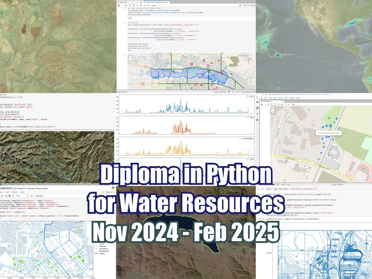
Hatarilabs presents its educational program designed for mastering Python in real professional and academic environments. The program has an extensive practical work that goes from the basic concepts of Python, Numpy and Pandas to specific applications in water resources and geosciences coupled with geospatial analysis and machine learning.
Objectives
This diploma is designed to provide you with the following capabilities:
- Have a perspective on the application of machine learning tools in Python for water resources and related fields.
- Master the basic concepts of Python and the Jupyter environment
- Become proficient in the common tools of the scientific oriented Python packages as Numpy, Pandas and Scipy
- Create full feature data visualizations for tabular, geospatial and 3D data.
- Learn and apply the most common geospatial tools for vector and raster data analysis in Python
Trainer
Saul Montoya M.Sc. – Hydrogeologist – Numerical Modeler
Mr Montoya is a Civil Engineer who graduated from the Catholic University in Lima with postgraduate studies in Management and Engineering of Water Resources (WAREM Program) from Stuttgart University – Germany with a mention in Groundwater Engineering and Hydroinformatics. Mr Montoya has a solid analytical capacity for interpreting, conceptualizing and modeling the surface and underground water cycle and their interaction. He is in charge of the numerical modeling for contaminant transport and remediation systems of contaminated sites. Inside his hydrological and hydrogeological investigations, Mr Montoya has developed a holistic comprehension of the water cycle, understanding and quantifying the primary hydrological dynamic process of precipitation, runoff, evaporation and recharge to the groundwater system.
Over the last nine years, Saul has developed two websites for knowledge sharing in water resources: www.gidahatari.com (Spanish) and www.hatarilabs.com (English), that have become relevant due to their applied tutorials on groundwater modeling, spatial analysis and computational fluid mechanics.
Methodology / Examination
Mode: Online with streaming – Synchronous
Some details about the diploma methodology:
- Manuals and files for the exercises will be delivered on our online platform.
- The course will be developed by video streaming with life support and interaction, recorded videos will be available on our elearning platform.
- There is online support for questions regarding the exercises developed through email and meets.
- Video of the classes will be available for 6 months.
The exams are certification is organized as follows:
- The program has 2 exams that comprise the content of 2 or 3 courses.
- Digital certificate available at the end of the program upon the exam approval.
- To receive the digital certificate you must submit the exams in the following dates:
- First exam before January 6 2025,
- Second exam before February 15 2025.
Date and time
The course is offered in sessions of approximately 1.5 to 2 hours. All sessions start at 6pm Central European Time (CET) – Amsterdam Time.
- Module 1 – November 2024 [5, 7, 12, 14]
- Module 2 – November 2024 [19, 21] and December 2024 [3, 5]
- Module 3 – December 2024 [17, 19] and January 2025 [7, 9]
- Module 4 – January 2025 [14, 16, 21, 23]
- Module 5 – January 2025 [28, 30] and February 2025 [4,6]

