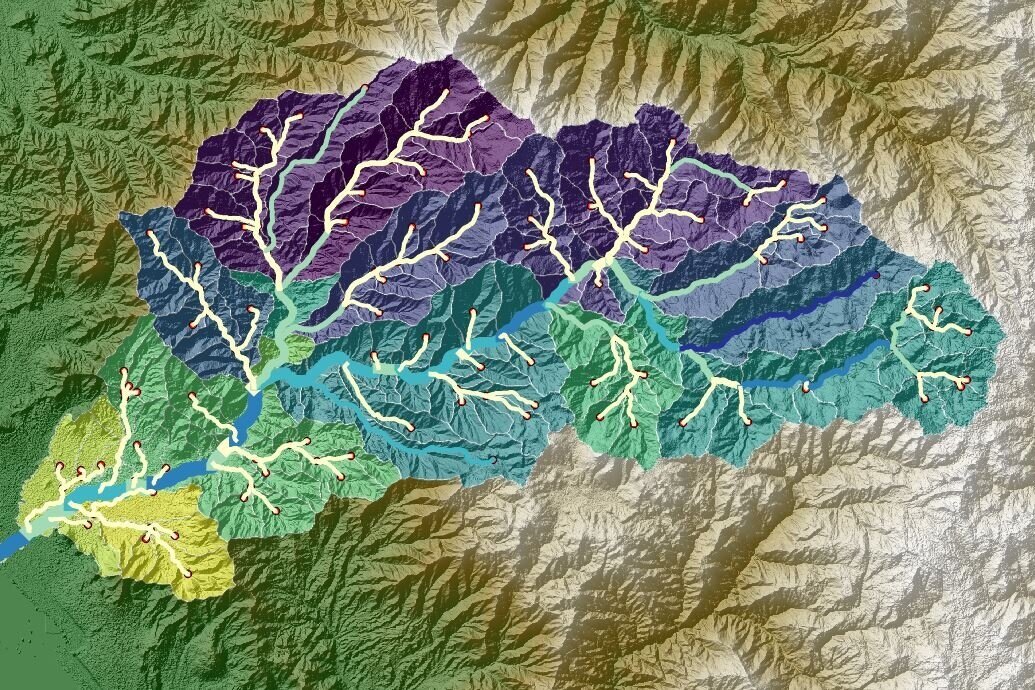
Hatarilabs presents the professional program to master SWAT+ (Soil Water Assessment Tool), which is a tool that allows the evaluation of soil and water for hydrographic basins based on Hydrological Response Units (HRU). SWAT+ is used to predict the long-term impact of land use on the generation of runoff, sediments, and nutrient transport, among others. In addition, because of its ability to include various models, such as water balance, and its full compatibility with Geographic Information Systems (GIS) tools, SWAT+ is extremely popular among professionals in water resources.
This program is designed to provide systematical learning from the most basic and general topics to intermediate and advanced topics, allowing the student to understand the various steps in developing hydrological models using the SWAT+ interface for QGIS. This program has a series of theoretical and practical concepts that allow the student to process spatial data, manage meteorological databases, build hydrological models, develop sensitivity analyses, and perform manual and automatic calibrations using versatile tools such as SWAT+ Toolbox, SQLite, and Python.
This program is developed in asynchronous mode that allows students to be more flexible in their schedule and enjoy of instructional materials during 01 year.

