Please log in to access your purchased courses.

Once the concepts have been covered and the operation of SWAT+ is understood, hydrological models will be developed with daily rainfall data, since they are the basis of the entire model, thus being the basis for the generation of future variables such as outflows or runoff.

Trainer

Saul Montoya M.Sc. 

Saul Montoya M.Sc. is a Hydrogeologist and Numerical Modeler. Mr. Montoya is a Civil Engineer graduated from the Catholic University in Lima with postgraduate studies in Management and Engineering of Water Resources (WAREM Program) from Stuttgart University – Germany with mention in Groundwater Engineering and Hydroinformatics. Mr Montoya has a strong analytical capacity for the interpretation, conceptualization and modeling of the surface and underground water cycle and their interaction. 

He is in charge of numerical modeling for contaminant transport and remediation systems of contaminated sites. Inside his hydrological and hydrogeological investigations Mr. Montoya has developed a holistic comprehension of the water cycle, understanding and quantifying the main hydrological dynamic process of precipitation, runoff, evaporation and recharge to the groundwater system. 

Over the last 9 years Saul has developed 2 websites for knowledge sharing in water resources: www.gidahatari.com (Spanish) and www.hatarilabs.com (English) that have become relevant due to its applied tutorials on groundwater modeling, spatial analysis and computational fluid mechanics.

Installers

The requirements to develop this module are to have an internet connection via wifi or network cable with a bandwidth of at least 4 Mbps and use a PC or Laptop with a Windows 64-bit operating system with speakers or headphones

Lessons

Installer Anaconda for Python Installer QGIS 3.22.7 Installer SWAT+ 2.1.2

Materials SWAT+

To extract the files use the software WinRAR

Lessons

Course materials

Session 01: Construction of a hydrological model

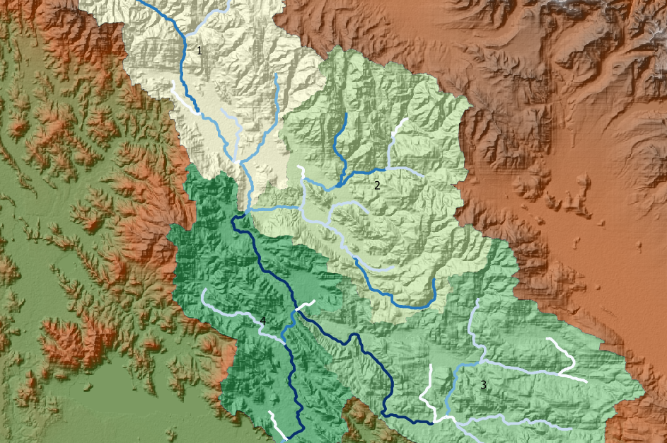
For this session, a model with SWAT+ and QGIS will be developed in detail from the configuration of basins to the creation of Hydrological Response Units (HRU’s).

Lessons

Video of Session 01

Session 02: Simulation of a hydrological model

We are going to continue with the development of the model following the guidelines of the incorporation of climatic variables, simulation, analysis of results and visualization of simulated data

Lessons

Video of Session 02

Session 03: Development of a hydrological model with SWAT+and QGIS.

For this session, a model will be built and simulated with SWAT+ and QGIS where the outflows will be estimated and compared with observed values

Lessons

Video of Session 03

Session 04: Construction of a hydrological model

For this session, the construction of a model with SWAT+ and QGIS will begin, where the sub-basins will be delineated and a “landscape” will be created using various SWAT+ methods, after which it will be defined the Hydrological Response Units (HRU’s) that allow grouping areas of the sub-basins with similar physical characteristics.

Lessons

Video of Session 04

Session 05: Simulation of a hydrological model

Execution of the simulation of the model based on the insertion of data from the climatological stations using the preset parameters that SWAT+ has.

Lessons

Video of Session 05

Session 06: Analysis of model results

In this session we will analyze and visualize the results in an animated way of different output variables from the SWAT+ interface in QGIS. The statistics of the simulated and observed output streams with Python will also be obtained.

Lessons

Video of Session 06

By admin